Olympic fans can virtually ski the runs of Whistler-Blackcomb, take a run on the bobsleigh course
Gillian Shaw
Sun

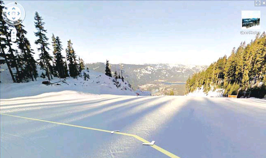
In an image from Google’s new Olympic map site, viewers can navigate down parts of the Dave Murray Downhill course at Whistler using tools similar to Street View.
Google Street View has taken to the slopes with the launch Tuesday of Google Snow View, taking viewers on a virtual tour of Whistler-Blackcomb and the Olympic runs.
With the Google Street View camera mounted on the back of a snowmobile, photographers toured the runs of the ski resort, capturing images that are being shown on Google’s newly launched website for the 2010 Olympic Games, google.com/games10.
Photographers also took to the winding bike trails and pedestrian streets of the mountain resort with the camera mounted on Google’s Street View trike.
The virtual tour was part of a lineup of online tools and website features for the Olympics showcased by Google at an event Tuesday at Vancouver’s B.C. International Media Centre, which was attended by Premier Gordon Campbell and Whistler Mayor Ken Melamed.
You don’t have to be at the Olympics to take a virtual run down Whistler’s bobsleigh course, thanks to enhanced 3-D imagery Google says it will have ready in time for Friday’s opening ceremony. All nine Olympics venues are available in 3-D and you can see them in Google Earth’s 3-D buildings layer or see the collection in Google’s 3-D warehouse.
Google’s tool kit for Olympic fans also includes special Games-time search results and its website for the 2010 Games has a transit trip planner for Vancouver/Whistler, including a timetable of events.
While the Olympics tools have been up and running since January and in some cases earlier, Google officially announced the launch of its website for the Games and the online tool kit this week.
© Copyright (c) The Vancouver Sun

